
Thank you for supporting this site ❤️
Make a donation
Make a donation
Garhwa Road topographic map
Click on the map to display elevation.
Thank you for supporting this site ❤️
Make a donation
Make a donation
About this map
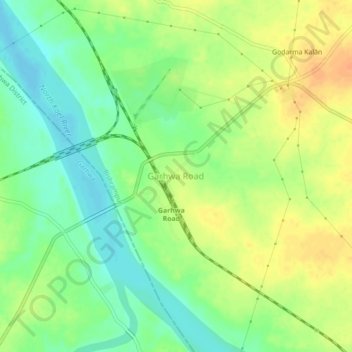
Name: Garhwa Road topographic map, elevation, terrain.
Location: Garhwa Road, Bishrampur, Palamu District, Jharkhand, India (24.19780 83.86581 24.23780 83.90581)
Average elevation: 184 m
Minimum elevation: 167 m
Maximum elevation: 202 m
Thank you for supporting this site ❤️
Make a donation
Make a donation