
Le Rodoué topographic map
Interactive map
Click on the map to display elevation.
About this map
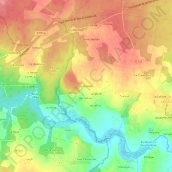
Name: Le Rodoué topographic map, elevation, terrain.
Average elevation: 76 m
Minimum elevation: 30 m
Maximum elevation: 112 m
Other topographic maps
Click on a map to view its topography, its elevation and its terrain.
Le Grand Chemin
France > Bretagne > Morbihan > Le Cours
Le Grand Chemin, Le Cours, Vannes, Morbihan, Bretagne, France métropolitaine, 56230, France
Average elevation: 71 m