
Thank you for supporting this site ❤️
Make a donation
Make a donation
Tila topographic map
Click on the map to display elevation.
Thank you for supporting this site ❤️
Make a donation
Make a donation
About this map
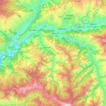
Name: Tila topographic map, elevation, terrain.
Location: Tila, Jumla, Karnali Province, Nepal (29.09501 81.89283 29.27849 82.06443)
Average elevation: 2,919 m
Minimum elevation: 1,966 m
Maximum elevation: 4,293 m
Thank you for supporting this site ❤️
Make a donation
Make a donation