
Kottapalle topographic map
Interactive map
Click on the map to display elevation.
About this map
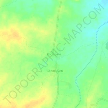
Name: Kottapalle topographic map, elevation, terrain.
Location: Kottapalle, Raptadu, Anantapur District, Andhra Pradesh, India (14.53008 77.52295 14.57008 77.56295)
Average elevation: 395 m
Minimum elevation: 381 m
Maximum elevation: 407 m