
Most na Soči topographic map
Interactive map
Click on the map to display elevation.
About this map
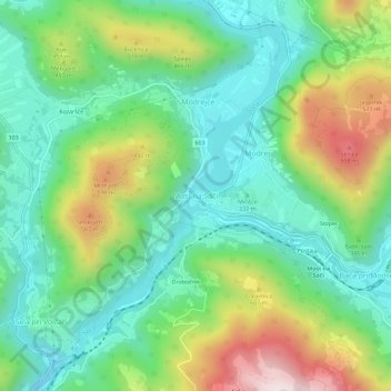
Name: Most na Soči topographic map, elevation, terrain.
Location: Most na Soči, Tolmein, 5220, Slowenien (46.13311 13.72110 46.17311 13.76110)
Average elevation: 330 m
Minimum elevation: 119 m
Maximum elevation: 764 m