
Panandhro topographic map
Click on the map to display elevation.
About this map
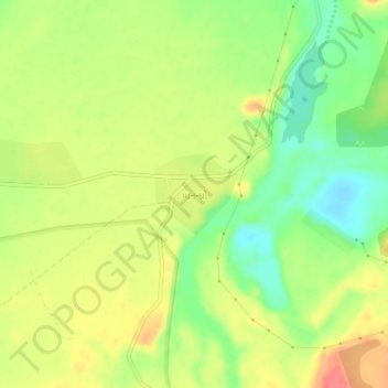
Name: Panandhro topographic map, elevation, terrain.
Location: Panandhro, Lakhpat Taluka, Kachchh, Gujarat, 370627, India (23.66271 68.73030 23.70271 68.77030)
Average elevation: 36 m
Minimum elevation: 4 m
Maximum elevation: 67 m
Other topographic maps
Click on a map to view its topography, its elevation and its terrain.