
Metcalf topographic map
Interactive map
Click on the map to display elevation.
About this map
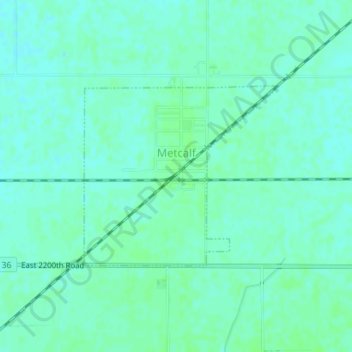
Name: Metcalf topographic map, elevation, terrain.
Location: Metcalf, Edgar County, Illinois, États-Unis d'Amérique (39.79246 -87.81647 39.80629 -87.79689)
Average elevation: 202 m
Minimum elevation: 198 m
Maximum elevation: 205 m