
Thank you for supporting this site ❤️
Make a donation
Make a donation
Kabacuzi topographic map
Click on the map to display elevation.
Thank you for supporting this site ❤️
Make a donation
Make a donation
About this map
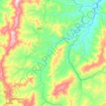
Name: Kabacuzi topographic map, elevation, terrain.
Location: Kabacuzi, Muhanga District, Southern Province, Rwanda (-2.00270 29.69854 -1.90448 29.79356)
Average elevation: 1,734 m
Minimum elevation: 1,417 m
Maximum elevation: 2,202 m
Thank you for supporting this site ❤️
Make a donation
Make a donation