
Tienen topographic map
Interactive map
Click on the map to display elevation.
About this map
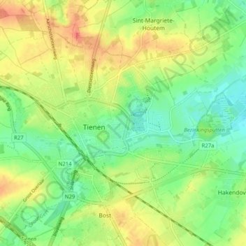
Name: Tienen topographic map, elevation, terrain.
Location: Tienen, Löwen, Flämisch-Brabant, Flandern, 3300, Belgien (50.78974 4.90380 50.82690 4.98238)
Average elevation: 54 m
Minimum elevation: 30 m
Maximum elevation: 85 m