
Thank you for supporting this site ❤️
Make a donation
Make a donation
Unterer See topographic map
Click on the map to display elevation.
Thank you for supporting this site ❤️
Make a donation
Make a donation
About this map
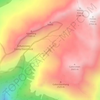
Name: Unterer See topographic map, elevation, terrain.
Location: Unterer See, Außervillgraten, Bezirk Lienz, 9931, Austria (46.82240 12.41367 46.82347 12.41472)
Average elevation: 2,378 m
Minimum elevation: 1,666 m
Maximum elevation: 2,751 m
Thank you for supporting this site ❤️
Make a donation
Make a donation