
Hub topographic map
Interactive map
Click on the map to display elevation.
About this map
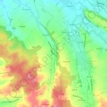
Name: Hub topographic map, elevation, terrain.
Location: Hub, Roßbach, Bezirk Braunau am Inn, 5273, Österreich (48.19207 13.23475 48.23207 13.27475)
Average elevation: 423 m
Minimum elevation: 371 m
Maximum elevation: 496 m