
Thank you for supporting this site ❤️
Make a donation
Make a donation
Yangpu District topographic map
Click on the map to display elevation.
Thank you for supporting this site ❤️
Make a donation
Make a donation
About this map
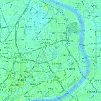
Name: Yangpu District topographic map, elevation, terrain.
Location: Yangpu District, Shanghai, China (31.24908 121.48089 31.34910 121.56496)
Average elevation: 6 m
Minimum elevation: -11 m
Maximum elevation: 28 m
Thank you for supporting this site ❤️
Make a donation
Make a donation
Other topographic maps
Click on a map to view its topography, its elevation and its terrain.