
Thank you for supporting this site ❤️
Make a donation
Make a donation
Talavadi topographic map
Click on the map to display elevation.
Thank you for supporting this site ❤️
Make a donation
Make a donation
About this map
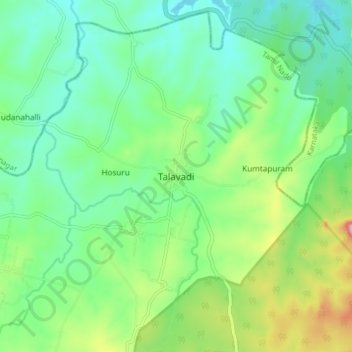
Name: Talavadi topographic map, elevation, terrain.
Location: Talavadi, Thalavadi, Erode, Tamil Nadu, 638461, India (11.73713 76.96533 11.81713 77.04533)
Average elevation: 799 m
Minimum elevation: 740 m
Maximum elevation: 943 m
Thank you for supporting this site ❤️
Make a donation
Make a donation