
Gular topographic map
Click on the map to display elevation.
About this map
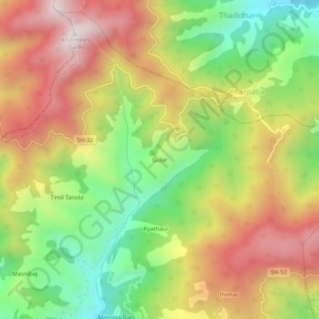
Name: Gular topographic map, elevation, terrain.
Location: Gular, Molekhal, Almora District, Uttarakhand, India (29.74851 79.11948 29.78851 79.15948)
Average elevation: 1,708 m
Minimum elevation: 1,281 m
Maximum elevation: 2,149 m