
Thank you for supporting this site ❤️
Make a donation
Make a donation
Monikie topographic map
Click on the map to display elevation.
Thank you for supporting this site ❤️
Make a donation
Make a donation
About this map
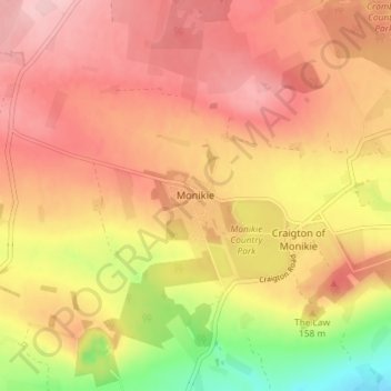
Name: Monikie topographic map, elevation, terrain.
Location: Monikie, Angus, Scotland, DD5 3QR, United Kingdom (56.51787 -2.83518 56.55787 -2.79518)
Average elevation: 147 m
Minimum elevation: 46 m
Maximum elevation: 206 m
Thank you for supporting this site ❤️
Make a donation
Make a donation