
Thank you for supporting this site ❤️
Make a donation
Make a donation
Hirschegg-Pack topographic map
Click on the map to display elevation.
Thank you for supporting this site ❤️
Make a donation
Make a donation
About this map
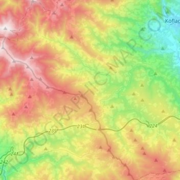
Name: Hirschegg-Pack topographic map, elevation, terrain.
Location: Hirschegg-Pack, Bezirk Voitsberg, Styria, 8584, Austria (46.90950 14.84011 47.08423 15.07571)
Average elevation: 1,109 m
Minimum elevation: 439 m
Maximum elevation: 1,992 m
Thank you for supporting this site ❤️
Make a donation
Make a donation
Other topographic maps
Click on a map to view its topography, its elevation and its terrain.