
Thank you for supporting this site ❤️
Make a donation
Make a donation
Chotila topographic map
Click on the map to display elevation.
Thank you for supporting this site ❤️
Make a donation
Make a donation
About this map
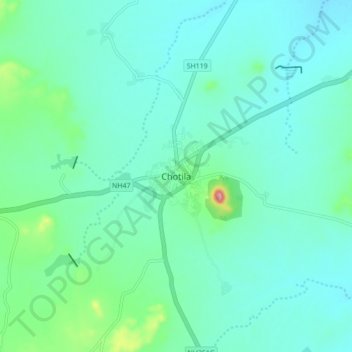
Name: Chotila topographic map, elevation, terrain.
Location: Chotila, Chotila Taluka, Surendranagar, Gujarat, 363520, India (22.40439 71.17924 22.44439 71.21924)
Average elevation: 204 m
Minimum elevation: 186 m
Maximum elevation: 350 m
Thank you for supporting this site ❤️
Make a donation
Make a donation