
Thank you for supporting this site ❤️
Make a donation
Make a donation
Styal topographic map
Click on the map to display elevation.
Thank you for supporting this site ❤️
Make a donation
Make a donation
About this map
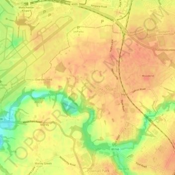
Name: Styal topographic map, elevation, terrain.
Location: Styal, Cheshire East, England, United Kingdom (53.33711 -2.28066 53.36113 -2.22428)
Average elevation: 76 m
Minimum elevation: 43 m
Maximum elevation: 89 m
Thank you for supporting this site ❤️
Make a donation
Make a donation