
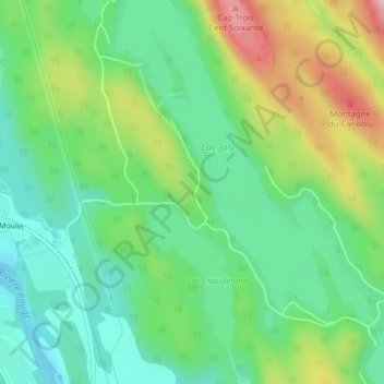
Lac-Caribou topographic map
Interactive map
Click on the map to display elevation.
About this map
Name: Lac-Caribou topographic map, elevation, terrain.
Average elevation: 289 m
Minimum elevation: 196 m
Maximum elevation: 469 m
Other topographic maps
Click on a map to view its topography, its elevation and its terrain.
Lac-Labelle
Lac-Labelle, Labelle, Les Laurentides, Laurentides, Québec, Canada
Average elevation: 281 m
Montagne du Caribou
Montagne du Caribou, Labelle, Les Laurentides, Laurentides, Québec, J0T 1H0, Canada
Average elevation: 345 m