
Patan topographic map
Click on the map to display elevation.
About this map
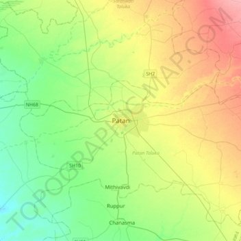
Name: Patan topographic map, elevation, terrain.
Location: Patan, Patan Taluka, Patan District, Gujarat, 384200, India (23.69050 71.95334 24.01050 72.27334)
Average elevation: 80 m
Minimum elevation: 47 m
Maximum elevation: 134 m