
Thank you for supporting this site ❤️
Make a donation
Make a donation
Lermoos topographic map
Click on the map to display elevation.
Thank you for supporting this site ❤️
Make a donation
Make a donation
About this map
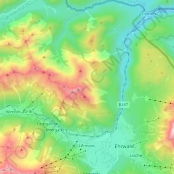
Name: Lermoos topographic map, elevation, terrain.
Location: Lermoos, Bezirk Reutte, Tyrol, 6631, Austria (47.38219 10.81624 47.48555 10.93846)
Average elevation: 1,355 m
Minimum elevation: 807 m
Maximum elevation: 2,566 m
Thank you for supporting this site ❤️
Make a donation
Make a donation