
Amala topographic map
Interactive map
Click on the map to display elevation.
About this map
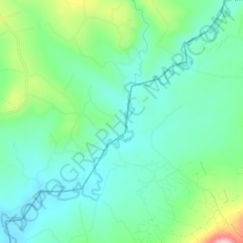
Name: Amala topographic map, elevation, terrain.
Location: Amala, Narok, Kenya (-0.89360 35.43968 -0.85028 35.48036)
Average elevation: 1,908 m
Minimum elevation: 1,854 m
Maximum elevation: 2,060 m