
Uludağ topographic map
Interactive map
Click on the map to display elevation.
About this map
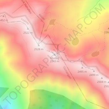
Name: Uludağ topographic map, elevation, terrain.
Location: Uludağ, Bursa, Osmangazi, Bursa, Marmararegion, Türkei (40.07022 29.22229 40.07032 29.22239)
Average elevation: 2,263 m
Minimum elevation: 1,686 m
Maximum elevation: 2,535 m