
Thank you for supporting this site ❤️
Make a donation
Make a donation
Burrillville topographic map
Click on the map to display elevation.
Thank you for supporting this site ❤️
Make a donation
Make a donation
About this map
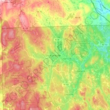
Name: Burrillville topographic map, elevation, terrain.
Location: Burrillville, Providence County, Rhode Island, United States (41.92838 -71.79920 42.01328 -71.59025)
Average elevation: 155 m
Minimum elevation: 59 m
Maximum elevation: 250 m
Thank you for supporting this site ❤️
Make a donation
Make a donation