
Kothur topographic map
Interactive map
Click on the map to display elevation.
About this map
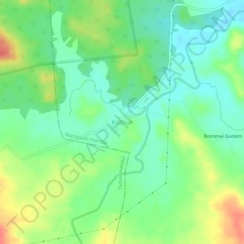
Name: Kothur topographic map, elevation, terrain.
Location: Kothur, Mulugu, Telangana, India (18.16265 80.41703 18.20265 80.45703)
Average elevation: 135 m
Minimum elevation: 113 m
Maximum elevation: 170 m
Other topographic maps
Click on a map to view its topography, its elevation and its terrain.