
Ghulewadi topographic map
Interactive map
Click on the map to display elevation.
About this map
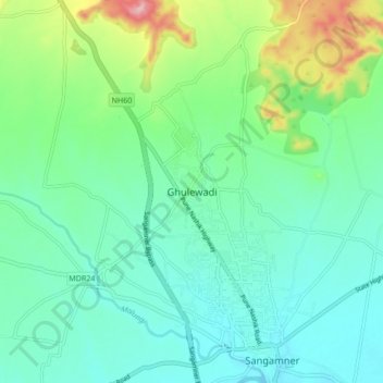
Name: Ghulewadi topographic map, elevation, terrain.
Location: Ghulewadi, Sangamner, Ahmednagar, Maharashtra, 422608, India (19.56156 74.15346 19.64156 74.23346)
Average elevation: 593 m
Minimum elevation: 547 m
Maximum elevation: 736 m