
Junnar topographic map
Interactive map
Click on the map to display elevation.
Junnar
Junnar has an average elevation of 689 metres (2260 feet). State Transport buses run between Pune and Junnar from Shivajinagar ST stand. The Kukadi River flows to the north.
About this map
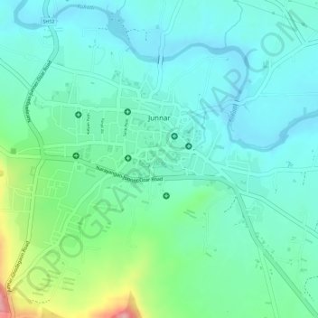
Name: Junnar topographic map, elevation, terrain.
Location: Junnar, Pune, Maharashtra, India (19.19829 73.86346 19.21344 73.88708)
Average elevation: 686 m
Minimum elevation: 648 m
Maximum elevation: 794 m