
Menziken topographic map
Interactive map
Click on the map to display elevation.
About this map
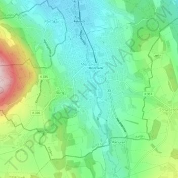
Name: Menziken topographic map, elevation, terrain.
Location: Menziken, Bezirk Kulm, Aargau, 5737, Schweiz (47.22190 8.15593 47.24994 8.20788)
Average elevation: 625 m
Minimum elevation: 525 m
Maximum elevation: 857 m