
Deshnoke topographic map
Interactive map
Click on the map to display elevation.
About this map
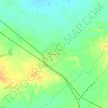
Name: Deshnoke topographic map, elevation, terrain.
Location: Deshnoke, Bikaner Tehsil, Bikaner, Rajasthan, 334800, India (27.75864 73.30465 27.83864 73.38465)
Average elevation: 272 m
Minimum elevation: 260 m
Maximum elevation: 292 m
Deshnoke is located at 27°47′26″N 73°20′27″E / 27.79056°N 73.34083°E / 27.79056; 73.34083. It has an average elevation of 265meters (869feet).