
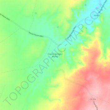
Coyote Springs topographic map
Interactive map
Click on the map to display elevation.
About this map
Name: Coyote Springs topographic map, elevation, terrain.
Average elevation: 1,743 m
Minimum elevation: 1,679 m
Maximum elevation: 1,825 m
Other topographic maps
Click on a map to view its topography, its elevation and its terrain.
Jarvis Lake
United States > Arizona > Apache County
Jarvis Lake, Apache County, Arizona, United States
Average elevation: 2,341 m
Reservation Dam
United States > Arizona > Apache County
Reservation Dam, Apache County, Arizona, United States
Average elevation: 2,761 m
Red Rock
United States > Arizona > Apache County
Red Rock, Shiprock Agency, Apache County, Arizona, United States
Average elevation: 1,780 m