
Selva topographic map
Interactive map
Click on the map to display elevation.
About this map
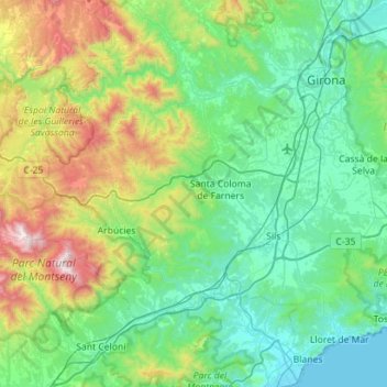
Name: Selva topographic map, elevation, terrain.
Location: Selva, Girona, Katalonien, Spanien (41.65048 2.40725 42.05890 2.97112)
Average elevation: 368 m
Minimum elevation: 0 m
Maximum elevation: 1,687 m