
Gādanki topographic map
Interactive map
Click on the map to display elevation.
About this map
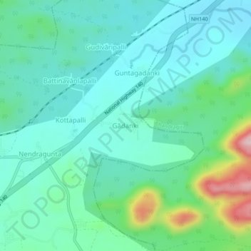
Name: Gādanki topographic map, elevation, terrain.
Location: Gādanki, Pakala, Tirupati, Andhra Pradesh, India (13.43866 79.15304 13.47866 79.19304)
Average elevation: 360 m
Minimum elevation: 294 m
Maximum elevation: 597 m