
Hunter's Creek topographic map
Interactive map
Click on the map to display elevation.
About this map
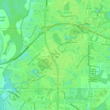
Name: Hunter's Creek topographic map, elevation, terrain.
Location: Hunter's Creek, Orange County, Florida, United States (28.34785 -81.45793 28.37642 -81.40468)
Average elevation: 28 m
Minimum elevation: 20 m
Maximum elevation: 31 m