
Weybridge topographic map
Click on the map to display elevation.
About this map
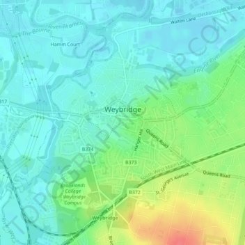
Name: Weybridge topographic map, elevation, terrain.
Location: Weybridge, Elmbridge, Surrey, England, United Kingdom (51.35911 -0.47404 51.38331 -0.43679)
Average elevation: 24 m
Minimum elevation: 8 m
Maximum elevation: 67 m
Other topographic maps
Click on a map to view its topography, its elevation and its terrain.