
Knebel topographic map
Interactive map
Click on the map to display elevation.
About this map
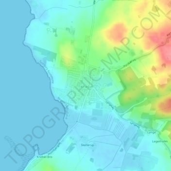
Name: Knebel topographic map, elevation, terrain.
Location: Knebel, Syddjurs Kommune, Jutland central, Danemark (56.20932 10.47621 56.21888 10.49431)
Average elevation: 18 m
Minimum elevation: -1 m
Maximum elevation: 82 m