
Bellefontaine topographic map
Interactive map
Click on the map to display elevation.
About this map
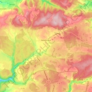
Name: Bellefontaine topographic map, elevation, terrain.
Average elevation: 544 m
Minimum elevation: 407 m
Maximum elevation: 621 m
Bellefontaine est une commune essentiellement agricole du pays de la Vôge. Son territoire forme un large plateau d'une altitude moyenne d'environ 550 mètres.