
Galle Fort Lighthouse topographic map
Interactive map
Click on the map to display elevation.
About this map
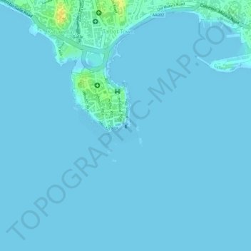
Name: Galle Fort Lighthouse topographic map, elevation, terrain.
Average elevation: 2 m
Minimum elevation: -1 m
Maximum elevation: 24 m
Other topographic maps
Click on a map to view its topography, its elevation and its terrain.
Makuluwa Junction
Sri Lanka > Southern Province > Galle > Makuluwa Junction
Makuluwa Junction, Galle, Galle District, Southern Province, 80000, Sri Lanka
Average elevation: 8 m