
Serre topographic map
Interactive map
Click on the map to display elevation.
About this map
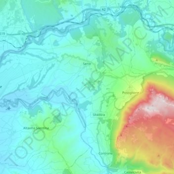
Name: Serre topographic map, elevation, terrain.
Location: Serre, SA, Campanie, Italie (40.51077 15.01989 40.61625 15.20601)
Average elevation: 307 m
Minimum elevation: 21 m
Maximum elevation: 1,678 m