
Kutelaha topographic map
Interactive map
Click on the map to display elevation.
About this map
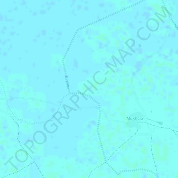
Name: Kutelaha topographic map, elevation, terrain.
Location: Kutelaha, Kala, Kala-Balge, Borno, Nigeria (12.05029 14.54300 12.07629 14.55450)
Average elevation: 292 m
Minimum elevation: 291 m
Maximum elevation: 294 m