
Banavasi topographic map
Interactive map
Click on the map to display elevation.
About this map
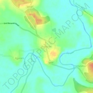
Name: Banavasi topographic map, elevation, terrain.
Location: Banavasi, Shirasi taluk, Uttara Kannada, Karnataka, India (14.49897 74.97298 14.57897 75.05298)
Average elevation: 561 m
Minimum elevation: 538 m
Maximum elevation: 646 m