
Baarle-Hertog topographic map
Interactive map
Click on the map to display elevation.
About this map
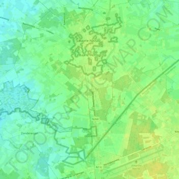
Name: Baarle-Hertog topographic map, elevation, terrain.
Location: Baarle-Hertog, Turnhout, Antwerpen, Flandern, Belgien (51.39282 4.83574 51.45563 4.95276)
Average elevation: 26 m
Minimum elevation: 17 m
Maximum elevation: 36 m