
Wandre topographic map
Interactive map
Click on the map to display elevation.
About this map
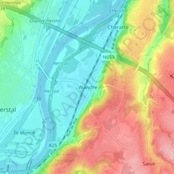
Name: Wandre topographic map, elevation, terrain.
Location: Wandre, Liège, Wallonie, 4000, Belgique (50.65016 5.63964 50.69016 5.67964)
Average elevation: 108 m
Minimum elevation: 53 m
Maximum elevation: 204 m