
Fæbroen topographic map
Interactive map
Click on the map to display elevation.
About this map
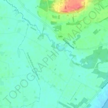
Name: Fæbroen topographic map, elevation, terrain.
Location: Fæbroen, Frederikshavn Kommune, Jutland du Nord, Danemark (57.18613 10.41097 57.22613 10.45097)
Average elevation: 12 m
Minimum elevation: -1 m
Maximum elevation: 55 m