
Argyle Number 2 31-030 Dam topographic map
Interactive map
Click on the map to display elevation.
About this map
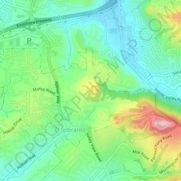
Name: Argyle Number 2 31-030 Dam topographic map, elevation, terrain.
Average elevation: 78 m
Minimum elevation: 13 m
Maximum elevation: 214 m