
Ranstadt topographic map
Interactive map
Click on the map to display elevation.
About this map
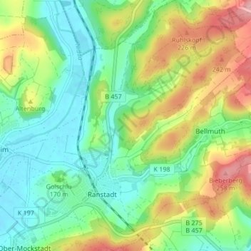
Name: Ranstadt topographic map, elevation, terrain.
Location: Ranstadt, Wetteraukreis, Hessen, Deutschland (50.34513 8.96108 50.38838 9.02513)
Average elevation: 175 m
Minimum elevation: 123 m
Maximum elevation: 268 m