
Thank you for supporting this site ❤️
Make a donation
Make a donation
Congregación Calles topographic map
Click on the map to display elevation.
Thank you for supporting this site ❤️
Make a donation
Make a donation
About this map
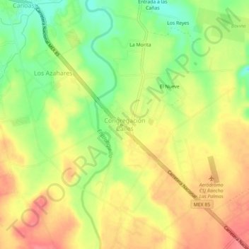
Name: Congregación Calles topographic map, elevation, terrain.
Location: Congregación Calles, Montemorelos, Nuevo León, Mexico (25.20539 -99.95538 25.24539 -99.91538)
Average elevation: 451 m
Minimum elevation: 412 m
Maximum elevation: 481 m
Thank you for supporting this site ❤️
Make a donation
Make a donation