
Karlshausen topographic map
Interactive map
Click on the map to display elevation.
About this map
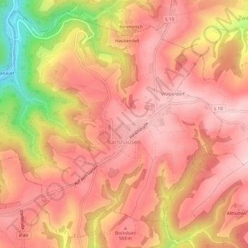
Name: Karlshausen topographic map, elevation, terrain.
Average elevation: 464 m
Minimum elevation: 295 m
Maximum elevation: 535 m
Other topographic maps
Click on a map to view its topography, its elevation and its terrain.
Dahnen
Deutschland > Rheinland-Pfalz > Eifelkreis Bitburg-Prüm > Dahnen
Dahnen, Arzfeld, Eifelkreis Bitburg-Prüm, Rheinland-Pfalz, Deutschland
Average elevation: 445 m