
San Andres topographic map
Interactive map
Click on the map to display elevation.
About this map
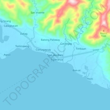
Name: San Andres topographic map, elevation, terrain.
Location: San Andres, Catanduanes, Bicol Region, 4810, Philippines (13.55892 124.05697 13.63892 124.13697)
Average elevation: 69 m
Minimum elevation: -1 m
Maximum elevation: 528 m