
Chalcatzingo topographic map
Interactive map
Click on the map to display elevation.
About this map
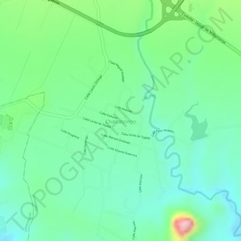
Name: Chalcatzingo topographic map, elevation, terrain.
Location: Chalcatzingo, Jantetelco, Morelos, México (18.68547 -98.77969 18.69409 -98.77077)
Average elevation: 1,370 m
Minimum elevation: 1,308 m
Maximum elevation: 1,511 m