
Dahegaon topographic map
Interactive map
Click on the map to display elevation.
About this map
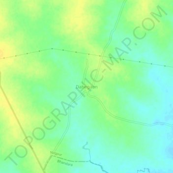
Name: Dahegaon topographic map, elevation, terrain.
Location: Dahegaon, Nagpur, Maharashtra, India (21.17854 79.48664 21.21854 79.52664)
Average elevation: 269 m
Minimum elevation: 258 m
Maximum elevation: 279 m
Other topographic maps
Click on a map to view its topography, its elevation and its terrain.
Dahegaon
India > Maharashtra > Dahegaon
Dahegaon, Lakhandur Taluka, Bhandara District, Maharashtra, India
Average elevation: 246 m